 Agencies Agencies
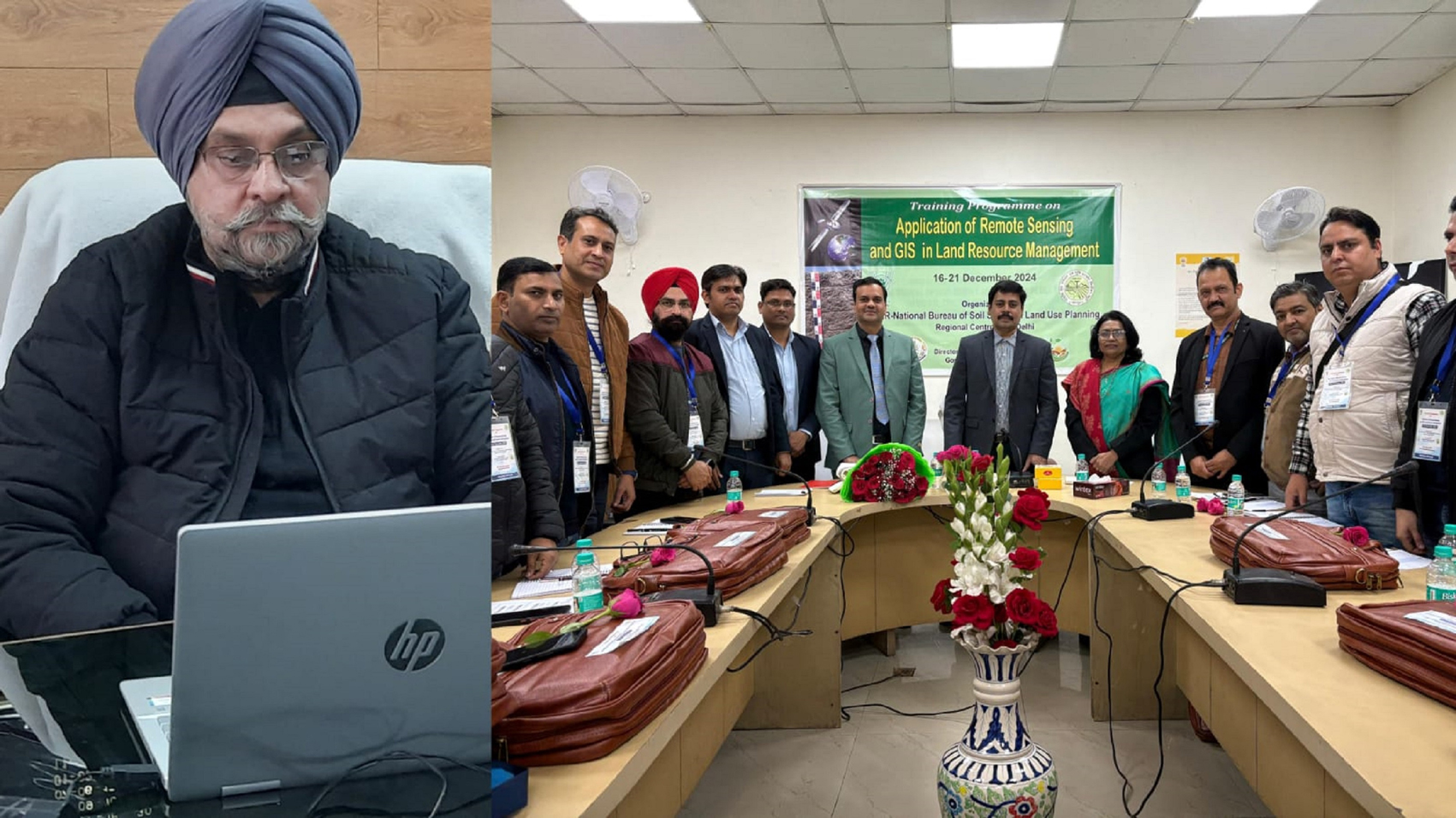
NEW DELHI, Dec 21: A weeklong training program on "Applications of Remote Sensing and GIS for Land Resource Management" for officers of the Directorate of Agriculture Jammu concluded successfully at the National Bureau of Soil Survey & Land Use Planning (NBSS&LUP), IARI Campus, PUSA, New Delhi.
The training, held from December 16-21, was part of the Capacity Building Component under the Holistic Agriculture Development Programme (HADP), Project 19 (JKSLRI), for 2024-25. It was sponsored by the Directorate of Agriculture Production and Farmers Welfare, Jammu, through the Divisional Soil Survey Scheme. The initiative was guided by Sh. Shailendra Kumar, Principal Secretary, Agriculture Production Department, J&K UT, and Sh. Arvinder Singh Reen, Director of Agriculture Jammu.
The valedictory session was presided over by Dr. P.S. Brahamanand, Project Director, WTC IARI New Delhi. During the program, experts from NBSS&LUP Nagpur, RC Delhi, and other divisions of IARI conducted sessions, practical training, and field visits covering diverse aspects of Remote Sensing and GIS in agriculture. Participants gained insights into soil mapping, crop monitoring, water resource management, climate change, and precision agriculture.
Prominent resource persons included:
Dr. G.P. Obi Reddy (Principal Scientist and Head, RSA), Dr. R.N. Sahoo (Principal Scientist, IARI), Dr. Chander Mohan Adhikari (Expert, ESRI India), Dr. Nirmal Kumar (NBSS&LUP Nagpur), Dr. Jaya N. Surya (Head, RC Delhi) and Dr. Vinay Sehgal (PS, IARI).
A field visit led by Dr. Jaya N. Surya focused on soil profile characterization techniques, adding practical value to the training.
Addressing the valedictory session via video conference, Director of Agriculture Jammu, Sh. Arvinder Singh Reen, emphasized the transformative role of Remote Sensing and GIS technologies in modern agriculture. He stated, "These technologies are essential for advancing soil mapping, yield predictions, climate resilience, and precision agriculture. This training equips our officers to implement cutting-edge solutions for land resource management and project planning, ultimately benefiting the farming community."
Director Reen also proposed a collaborative project with NBSS&LUP for detailed land resource mapping at a scale of 1:10,000 to enhance local-level planning, as previous mapping at a broader scale of 1:250,000 had limited applicability. He expressed gratitude to Dr. N.G. Patil, Director of NBSS&LUP Nagpur, and Dr. Jaya N. Surya for their support and successful execution of the training program.
The program reflects the commitment of the Agriculture Department to leveraging advanced technologies for sustainable agricultural development in the region. Participants left the training equipped with valuable knowledge and skills to drive impactful changes in their respective areas |
